Fire clouds in France add a new threat for wildfire crews
Pyrocumulonimbus storms over French wildfires can generate wind, lightning and new blazes, a wildfire researcher told AFP.
By Priya Raghavan · Science Reporter
3 min read
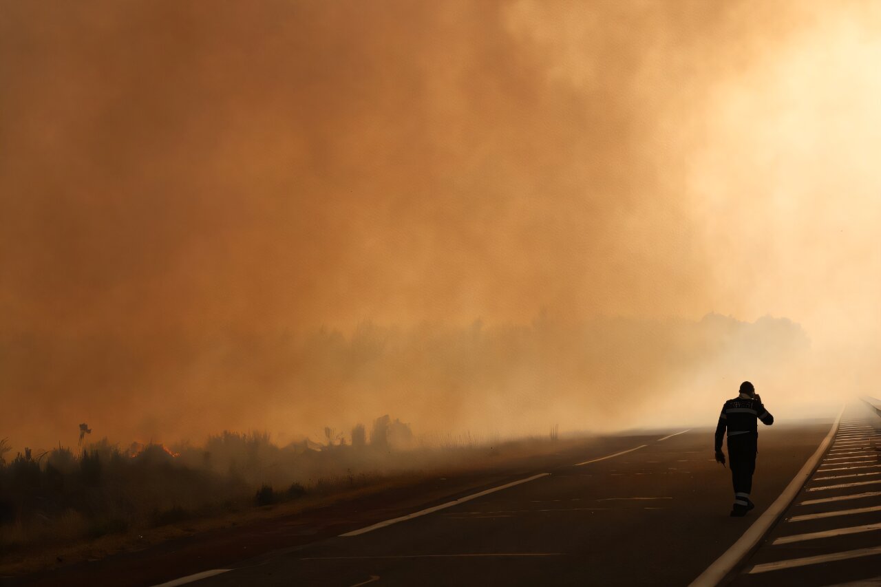
Fire clouds in France are adding a dangerous complication for crews fighting wildfires in the southwest, where storms born above the flames can make a blaze spread faster. French wildfire researcher Jean-Baptiste Filippi told AFP that the phenomenon can create its own wind and lightning, raising the risk of fresh fires.
Firefighters in southwest France have been trying to bring a forest fire under control before another heat wave reaches the country, AFP reported. The fire has also caused mass evacuations, according to AFP.
The clouds are known as pyrocumulonimbus clouds, or fire clouds. Filippi, who studies wildfires, said their appearance in France is tied to human-caused climate change, which is making heat waves more frequent.
What are fire clouds?
A fire cloud is a thunderstorm that forms when a powerful column of hot air rises above a fire. Water vapor in that rising air condenses into droplets, first forming a cumulus cloud and then, if enough heat and energy build, a much larger cumulonimbus cloud.
Filippi told AFP that these clouds can contain thousands of tonnes of suspended water. Their updrafts can exceed 150 kilometers per hour, or about 90 miles per hour.
The storm may produce rain, but the drops can evaporate before reaching the ground. That falling, evaporating rain cools the air and helps create strong downdrafts, adding another source of shifting wind around the fire.
The danger is not limited to wind. Pyrocumulonimbus clouds can produce lightning, and lightning can start new fires. Filippi also told AFP that the convection column above the blaze can lift embers and carry the fire farther away.
Why are they a problem for firefighters?
Fire clouds can make a wildfire behave less predictably because the fire begins to affect the weather above it. Filippi said France must learn how to handle fires that generate their own wind, a situation he described to AFP as relatively new for the country.
In the Gironde region of southwest France, the wind shifted through several directions during the fire, according to Filippi’s account to AFP. He said local conditions became catastrophic as atmospheric energy helped the fire spread at a striking rate.
Fire clouds are more familiar to crews in places such as California, Australia and Portugal, AFP reported. In Portugal, Filippi said, they had been rare until the deadly 2017 fires in Pedrogao Grande.
France has seen the phenomenon before, including brief pyrocumulonimbus clouds around Landiras, south of Bordeaux, in 2022, according to AFP. Filippi said the current challenge reflects a newer combination for the region: thunderstorm conditions arriving after three successive heat waves.
Can fire clouds be predicted?
Weather services can forecast the conditions that favor thunderstorms, Filippi told AFP. Predicting a fire cloud is harder because the storm forms directly over a fire, and forecasters would have to know the fire’s exact location in advance.
That means officials can identify dangerous weather patterns, but they cannot know precisely where a pyrocumulonimbus cloud will form until a fire is already in place. For firefighters, that uncertainty can turn an already difficult wildfire into a faster-moving and more volatile threat.
This story draws on original reporting from Phys.org.