
California wildfire risk map links building losses to design and location
UC Irvine researchers mapped California building damage risk using Cal Fire records, weather, terrain and construction details.
By Lucas Ferreira · Science & Environment Writer
3 min read
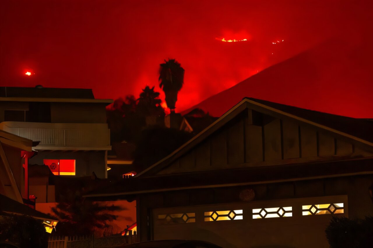
UC Irvine researchers have built a California wildfire risk map that estimates where buildings are most likely to be damaged or destroyed by fire. The tool matters because it ties property loss risk to specific factors that officials and homeowners can address, including construction materials, defensible space, weather and terrain.
The work, published in Science Advances, draws on about 100,000 California Department of Forestry and Fire Protection inspection records from 2013 through 2024, according to the University of California, Irvine. The research team found that nearly 55,000 structures were either partly damaged or fully destroyed by fire during that period.
UC Irvine said 86% of those damaged or destroyed buildings were in wildland-urban interface areas, where development meets vegetation. The researchers said that pattern shows wildfire building losses are shaped by identifiable conditions rather than chance.
What is the California wildfire risk map?
The map is called the Wildfire Building Damage Risk Index, or WBDRI. UC Irvine said it is a continuous, statewide damage-probability map at 100-meter resolution that combines satellite-based environmental data, fire-weather analyses and building-level structural details in a machine learning model.
The team tested three model versions, adding information about building flammability, weather and environmental exposure. UC Irvine said the best-performing configuration reached prediction accuracy as high as 88%.
Lead author Somnath Bar, a UC Irvine postdoctoral scholar in civil and environmental engineering, said the findings point to repeatable patterns in which buildings burn. He said the model can help explain and project which structures face the highest chance of wildfire damage based on their mix of structure, setting and weather exposure.
Which factors raise wildfire damage risk?
The researchers identified dry air, strong winds, heat, dry vegetation and terrain as major contributors to building loss. Low dew-point temperatures, which indicate atmospheric dryness, can combine with high wind speeds to raise the likelihood that a fire destroys property, according to the study summary from UC Irvine.
California vegetation types, including grasslands, mesic chaparral and mixed oak woodland, can carry fire toward buildings. Many wildland-urban interface zones also sit at middle elevations around 500 meters, or 1,640 feet, where slopes can help channel wind and increase fire spread and intensity, the researchers said.
Building features also affect risk. UC Irvine said wooden fences, combustible siding, protruding eaves and vents that admit windblown embers can make structures more vulnerable to ignition.
Co-author Tirtha Banerjee, an associate professor of civil and environmental engineering at UC Irvine, said fire danger rises when flammable building practices meet dry fuels, heat, wind and atmospheric aridity.
How could officials and homeowners use it?
UC Irvine said local governments and property owners could use the WBDRI to target defensible space inspections and fuel-reduction spending. Bar said zones with damage probability above 0.55 are the places where investments in structural hardening and vegetation management produce the highest return.
The researchers said the map could support land-use planning, insurance risk pricing and emergency management at state and regional levels. Fire agencies could use it to choose where to make pre-fire mitigation investments, while households could use the findings as a checklist for hardening structures.
The study points to practical steps including replacing wood fencing, switching to noncombustible siding, retrofitting eaves and installing ember-resistant vents. The researchers said agencies should pair stronger building codes, land-use planning and vegetation management, especially in wildland-urban interface zones.
UC Irvine also cited the Palisades and Eaton fires in Southern California, which destroyed more than 16,000 structures in January 2025, as examples of how Santa Ana winds, nearby forests, slopes and canyons can combine to produce severe losses.
This story draws on original reporting from Phys.org.