
Max Planck study shows how rain may begin without ice crystals
A CloudKite survey found metre-scale droplet clusters in a warm cloud, offering a possible answer to how rain begins without ice.
By Tom Brennan · Health & Medicine Correspondent
3 min read
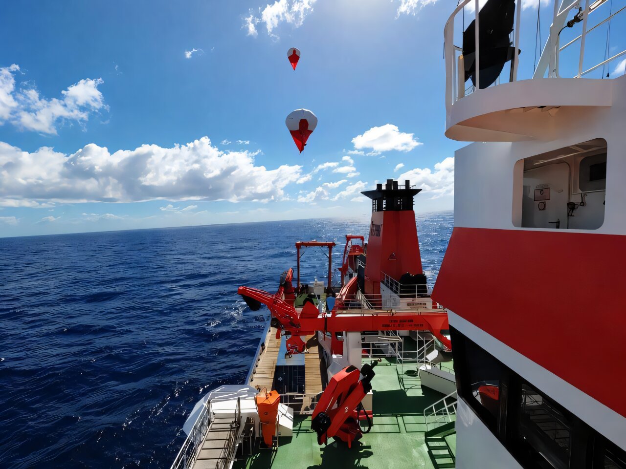
A Max Planck team has found tightly packed patches of water droplets inside a shallow cumulus cloud, a pattern that may help explain how rain begins without ice. The finding matters because these warm clouds can rain within minutes even though they lack ice crystals, and researchers still do not know precisely how their tiny droplets first grow into falling raindrops.
The researchers at the Max Planck Institute for Dynamics and Self-Organization reported the observations in a study published in Proceedings of the National Academy of Sciences. Their measurements showed that droplets were concentrated in small zones rather than spread evenly through the cloud, according to the institute.
How can rain begin in clouds without ice crystals?
The shallow cumulus clouds examined in the study consist of liquid droplets, not ice crystals. For rain to form, small droplets must collide and merge until they become too heavy to stay suspended; NOAA says droplets that reach that point fall to Earth as rain.
Max Planck researchers say dense droplet clusters could help overcome that early growth hurdle. Droplets placed closer together have more opportunities to collide, potentially creating larger drops. The observation is a proposed mechanism, not proof that every warm-cloud rain event starts this way.
What the researchers observed
Using their CloudKite platform, the team reconstructed a 55-metre section of a shallow cumulus cloud. It identified concentrated droplet “hotspots” around a metre across or smaller, where droplets were much nearer one another than in surrounding parts of the cloud, the institute said.
That result runs against the prior expectation that droplet clustering in clouds is weak and broadly uniform, according to Max Planck. Birte Thiede, the study’s first author, said the localized concentrations may mark places where rainfall begins in shallow cumulus clouds.
How CloudKite measured the cloud
CloudKite is carried by a helikite balloon and uses two laser-and-camera optical systems, according to the institute. One system maps individual droplets’ three-dimensional locations and sizes 75 times a second; the other records turbulence in the cloud.
The platform moves through clouds at about 10 metres per second and produced measurements at intervals of roughly 12 centimetres. Eberhard Bodenschatz of the institute said that was about 250 times more frequent than earlier airborne observations, allowing the team to see fine-scale variations that had previously been missed.
What remains to be learned
The study covers one 55-metre cloud section, so it does not establish how common these clusters are or show that they improve weather forecasts. The team is investigating whether turbulence produces or shapes the clusters and plans further CloudKite field campaigns in Amazonia, the Baltic Sea and northern Finland, according to Max Planck.
The institute says a clearer account of droplet growth could eventually improve descriptions of rainfall in weather and climate models. That potential is significant because warm clouds affect rainfall and how much sunlight clouds reflect, but the forecasting and climate benefits remain future goals rather than demonstrated results.
This story draws on original reporting from Phys.org.