
Google Earth AI tool pulled after fake satellite images spread
Google rolled back a Google Earth AI feature after users shared generated satellite-style images that appeared to breach its policies.
By Hana Yoshida · Markets Reporter
3 min read
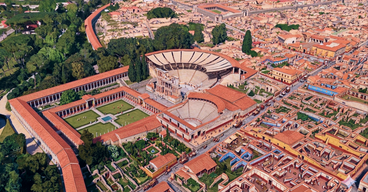
Google rolled back a Google Earth AI tool one day after launch after users shared AI-altered satellite-style images that the company said appeared to break its rules. The move matters because Google Earth is widely treated as a visual reference for real places, and prompt-based editing made it easier to create convincing scenes that did not exist.
Google said the feature used Nano Banana 2 to generate edited images inside Google Earth from text prompts. The company said the resulting images were marked as AI-generated and did not appear in the main Google Earth view for other users.
The rollback followed tests by Digital Digging’s Henk van Ess, who said he used the tool to create false geospatial imagery, including scenes showing refugees near the Mexican border and a bomb crater near a hospital in Gaza. Van Ess said his testing did not produce refusals or prompt-softening from the system.
Why did Google roll back the Google Earth AI tool?
Google said it acted because people trust Google Earth for dependable views of the world, while screenshots of generated images were being shared in ways that appeared to violate company policy. Google said it would work on stronger safeguards before restoring the feature.
The company’s initial response to van Ess said Google Earth images made with Nano Banana 2 carried a digital watermark and that Google blocked image creation involving harmful topics. In its later statement, Google said some geospatial professionals had used the feature for useful work, but that the policy concerns were enough to pull it back.
An AI watermark is a technical or visible marker meant to show that media was generated or altered by artificial intelligence. Watermarks can help with disclosure, but they do not stop someone from sharing a screenshot out of context or relying on a detector that misses the mark.
Van Ess said he was able to fool Hive’s AI detection tool with a video made in Google Earth. He cited that test as evidence that generated geospatial media could spread even when Google applied labels or watermarks.
What could users make with it?
Google’s feature allowed users to alter Google Earth imagery by describing changes in a text prompt, according to the company’s statements and van Ess’s tests. That put generative AI controls on top of imagery associated with real-world locations.
The examples described by van Ess point to the central risk: realistic-looking images tied to sensitive places or events can be mistaken for evidence. Google said the generated images were limited to the user’s experience and were watermarked, but the company acknowledged that shared screenshots raised policy problems.
Google has not given a timetable for the feature’s return. For now, the company says the Google Earth AI image-generation feature has been rolled back while it adds stronger guardrails.
This story draws on original reporting from The Verge.