
Snowpack monitoring tool aims to cut flood risk during rain-on-snow storms
Researchers say hourly SNOTEL data can help forecasters see when mountain snow is adding to runoff during storms.
By Tom Brennan · Health & Medicine Correspondent
3 min read
A new Desert Research Institute tool gives forecasters and water managers a near real-time look at how snowpack responds when rain falls on mountain snow. DRI says the system could improve flood warnings and help reservoir operators avoid releasing water before it is needed.
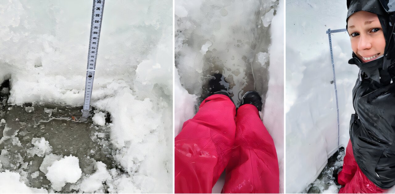
The Snowpack Runoff Decision Support Tool uses hourly soil moisture data from the SNOwpack TELemetry Network, known as SNOTEL, to show whether snow is holding back water or contributing to runoff during a storm, according to DRI. The tool is publicly available on DRI’s website and is described in a peer-reviewed study published in Water Resources Research.
DRI said rain-on-snow events have been difficult for emergency managers because storm impacts depend on how quickly a snowpack melts and drains. The institute pointed to the 1997 New Year flood in Reno, when rain on deep Sierra Nevada snow helped send the Truckee River into downtown streets.
Anne Heggli, a DRI scientist who led the work, said the goal is to reduce uncertainty about the snowpack response during these events. DRI said she developed the tool with input from the California-Nevada River Forecast Center, the National Weather Service and the Nevada Department of Transportation.
The study tested the approach in the Upper Carson River watershed, which drains the eastern Sierra Nevada, according to DRI. The researchers found that storms from 2006 through 2022 showed the tool’s ability to capture the timing of runoff.
Tim Bardsley, senior service hydrologist at the National Weather Service and a collaborator on the project, said the tool gives him near real-time information across different elevations and snowpack conditions. According to DRI, Bardsley said that helps improve forecasts and communication with flood-risk partners.
DRI said the same data can also help reservoir managers. Before major storms, operators may release water from upstream reservoirs to create flood storage, but if expected runoff does not arrive, that water is no longer available for dry-season use.
By watching the snowpack itself rather than waiting for streamflow changes, water managers can get earlier information, DRI said. Heggli said that reducing uncertainty can help keep water stored in mountain reservoirs until releases are necessary, especially during moderate rain-on-snow storms where snowpack behavior is harder to predict.
The tool became possible because the Natural Resources Conservation Service added hourly monitoring at SNOTEL stations beginning in the late 20th century, according to DRI. Daily data remains useful for long-term planning, but DRI said hourly measurements reveal short-term runoff processes during active storms.
DRI said mountain snowmelt provides as much as 75% of the West’s water. During storms, cloud cover can block satellite views, making ground monitoring stations such as SNOTEL a key source of information on snowpack conditions, according to the institute.
Ben Hatchett, a former DRI scientist and study co-author now at Colorado State University, said the project shows the value of long-term monitoring networks and tools developed with users. DRI said Hatchett also called for more work to assess how such tools affect the quality of operational decisions.
The tool is now available for the Sierra Nevada region of California and Nevada, including the Truckee and Carson River watersheds, according to DRI. A demo site shows past storms, including Dec. 30, 2022, and winters in 2005 and 2017.
DRI said Heggli and colleagues are working with East Bay Municipal Utility District and PG&E to add the Mokelumne River watershed. The institute said the approach could eventually extend to SNOTEL stations across the western United States.
Heggli said rain-on-snow storms are becoming more frequent and are projected to increase 15% to 25% by midcentury, according to DRI. The institute said warming temperatures are expected to shift more precipitation from snow to rain, increasing downstream flood hazards in the western U.S. and in regions such as Norway and the Alps.
This story draws on original reporting from Phys.org.