Greece turns to thermal satellites to sharpen wildfire response
New Greek satellites are giving firefighters heat maps, smoke-piercing views and forecasts as the country faces thousands of fires each year.
By James Whitfield · Staff Writer
3 min read
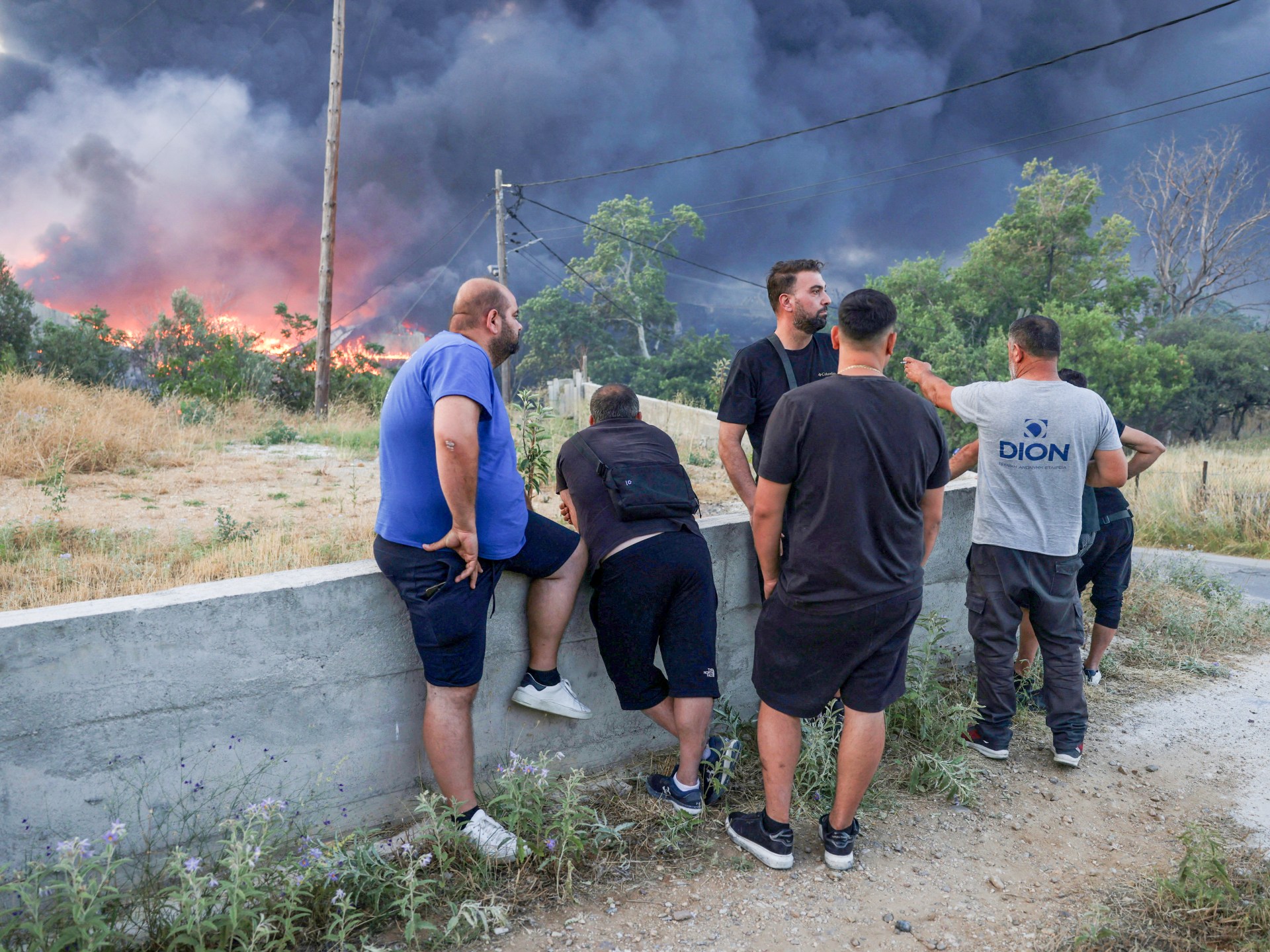
Greece is using its first thermal-imaging satellites to help forecast wildfire risk and guide crews once flames break out. The system gives the Hellenic Fire Service a more precise way to spot heat, smoke-obscured fire fronts and dangerous terrain as fires become more frequent amid drought and climate change, according to the Hellenic Space Center.
At the Hellenic Space Center in a northern Athens suburb, engineers are working with images from four small satellites orbiting about 550km above Earth. The satellites measure ground temperature and humidity, data that can help estimate where a forest fire may start within hours, HSC officials told Al Jazeera.
Once a fire is burning, the center can combine satellite readings with maps of vegetation and elevation to forecast how flames may move. That information can help commanders place fire trucks, aircraft and foot teams known in Greece as forest commandos, particularly in areas vehicles cannot reach.
Smoke-piercing views from orbit
HSC President Emmanuel Rammos told Al Jazeera the satellites can detect hot spots through smoke, allowing firefighters to locate active burning areas more accurately. He said that can help aircraft make more targeted water drops.
Tryfon Farmakakis, a space systems scientist at the HSC, told Al Jazeera that nighttime satellite images can show where fire fronts are before aircraft fly at first light. Rammos said the satellites can also give commanders details such as the location of buildings, high-voltage cables, water reservoirs and access roads.
The four Greek satellites, each less than half a metre long and roughly briefcase-sized, travel in the same polar orbit. Each passes over Greece about twice a day. To keep a broader view of the country’s 132,000 square kilometres, the HSC also uses about 20 satellites operated by OroraTech, the company that built the Greek spacecraft.
Greece plans to add seven satellites this year built by Open Cosmos. Farmakakis said those will be multi-spectral spacecraft able to observe Earth in several light frequencies, supporting fire detection while also measuring forest health, vegetation vitality, water stress, chlorophyll levels and signs of pathogens.
Drones add a lower-altitude layer
The satellite programme comes after a wider technology upgrade for Greek firefighters. Until two years ago, warnings depended on patrols, fire engines posted in mountain areas and lookout towers. Greece now records about 10,000 forest and field fires each year, according to Al Jazeera.
Recent fire seasons have shown the limits of older methods. In August 2021, a major fire in the Athens suburb of Varibobi drew large numbers of trucks and aircraft while a smaller blaze near Limni on Evia went unattended for two days, later burning much of 100,000 hectares of pine forest. In August 2023, fires believed to have been ignited by lightning burned 72,000 hectares in Western Thrace and East Macedonia, Al Jazeera reported.
The fire service began using aerial drones in 2024 and now flies them around the clock over forests and suburban areas. Fire brigadier Alexandros Papaioannou told Al Jazeera the service operated 40 drones two years ago, 80 last year and 105 this year. He said drones fly at 120 metres, provide stronger zoom than binoculars and send live video and thermal images to regional operations centres and a national crisis management centre.
Drones have also helped arson investigators, according to the Directorate for Countering Crimes of Arson. The fire service made 228 arrests in 2022 and 206 in 2023, then 430 in 2024 and 423 in 2025 after drones entered use. Fines rose from under 300,000 euros in 2022-23 to 1.5 million euros last year.
Iasonas Aliferis, secretary-general of the Association of Graduate Fire Service Officers, told Al Jazeera that satellites, drones, aircraft and ground crews now form separate layers of information for firefighters. He said Greece is shifting toward prevention, monitoring, early warning and faster operational decisions.
This story draws on original reporting from Al Jazeera.